
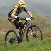
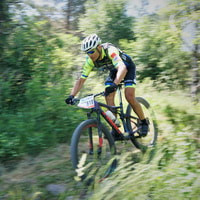
COURSES
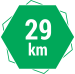
SHORT COURSE DACIA TRGO ABCLength: 29 km
Height meters: 525 h.m. It is an excellent MTB adventure for young, older, and less demanding recreational cyclists. |
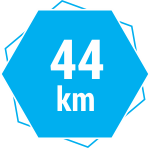
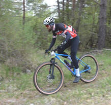
MEDIUM COURSE LOTRANSLength: 44 km
Height meters: 981 h.m. This route challenges recreational cyclists who like rugged routes and rides in unspoiled nature. |
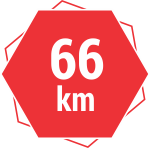
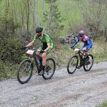
LONG COURSE KOLEKTORLength: 66 km
Height meters: 1.567 h.m. It is the right choice for the best-prepared cyclists who want challenging MTB races. |
slavnik
|
Slavnik is a 1028-meter-high mountain in Slovenian Istria - Čičarija, which rises south of Kozina and west of Podgorje. There is a viewing platform at the top of Slavnik, and a few meters below it is Tum's hut, which was opened in 1957.
An average hiker from Kozina can reach the summit by the shortest route in three hours and a cyclist in two hours. In good weather, from Slavnik, we can see the Adriatic Sea, the Italian Dolomites (Marmolada), part of the Carnian and Julian Alps (Triglav), Karawanks, Kamnik- Savinja Alps and Učka. Nearby, you can see Golaki, Vremščica and a little further Snežnik. Peonies, daffodils, and irises bloom to the top in the second half of May. |
Arrival at the location of the event (Hrpelje under Slavnik) is possible by car:
-> 25 km from Koper -> 80 km from Ljubljana -> 20 km from Trieste (IT) -> 60 km from Rijeka (CRO) -> 40 km from Buzet (CRO) |
PROGRAM

SATURDAY, May 11, 2024 – Hotel Admiral
16.00 – 18.00 ... arrivals of participants, registrations, collection of starting numbers
17.00 – 19.00 ... Pasta party, companion program
19.00 – 20.00 ... socialising
SUNDAY, May 12, 2024 –at the elementary school and village centre Hrpelje
7.00 – 8.45 ... arrivals of participants, registrations, collection of starting numbers and pickup of gift bags
09:30 ... start ot the 66 km marathon
10.00 ... start of the 44 km marathon
10.15 ... start of the 29 km marathon
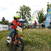
10.30 ... mini-MTB marathon for children up to 6 years old
11:00 a.m. – 4:00 p.m.... arrival of participants at the finish line
09:00 – 16:00 ... children's MTB training ground
12.00 – 17.00 ... animation program, refreshments for participants, pickup of gift bags
14.00 ... awards ceremony
16.00 – 18.00 ... arrivals of participants, registrations, collection of starting numbers
17.00 – 19.00 ... Pasta party, companion program
19.00 – 20.00 ... socialising
SUNDAY, May 12, 2024 –at the elementary school and village centre Hrpelje
7.00 – 8.45 ... arrivals of participants, registrations, collection of starting numbers and pickup of gift bags
09:30 ... start ot the 66 km marathon
10.00 ... start of the 44 km marathon
10.15 ... start of the 29 km marathon
10.30 ... mini-MTB marathon for children up to 6 years old
11:00 a.m. – 4:00 p.m.... arrival of participants at the finish line
09:00 – 16:00 ... children's MTB training ground
12.00 – 17.00 ... animation program, refreshments for participants, pickup of gift bags
14.00 ... awards ceremony

REGISTRATION

Registration for the 2024 event
Registration fee for marathons 29, 44 and 66 km 2024
-> the first 150 registered participants ("EARLY BIRD") ... €30
-> submitted application and payment online by May 5, 2024, ... €40
-> registration and payment on the day of the event (May 11 and 12) ... €50 (a gift bag is not necessarily guaranteed)
E-bikes are also welcome - a particular category on the 29- and 44-km routes.
Application conditions
The total number of marathon participants is limited to 524. All recreational cyclists who are healthy, able to ride a bicycle, and at least 14 years old or younger with a bicycle license can participate in the event. A medical certificate or license is not required; a health declaration is made. To participate, minors need:
-> 14 and 15 years old... physically accompanied by parents on the route
-> For those aged 16 and 17, written permission from parents or guardians is required to attend the event.
Applications are possible on the website up to and including May 5, 2024, and at the registration desk on the day of the event, May 11 and 12, 2024. The application is submitted on the prescribed form and is complete only when the application fee has been paid. The application fee cannot be refunded.
accommodationS
|
Hotel Admiral
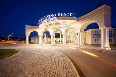
Bazoviška cesta 23, 6240 Kozina
www.admiral.si | 00 386 5 689 07 00 |
Dobra hiša zdravja
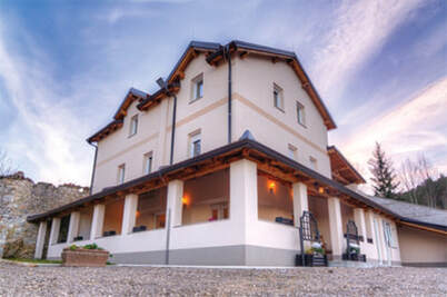
Čičarija Golac, 6243 Obrov
www.dobrahisa.com | 00386 31 333 678 |
|
Hostel Ociski raj
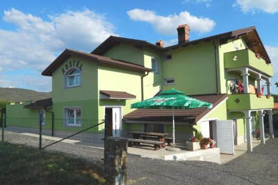
Ocizla 1c, 6240 Kozina
www.hostel-ocizla.si | 00 386 40 874 745 |
Pension Patrik
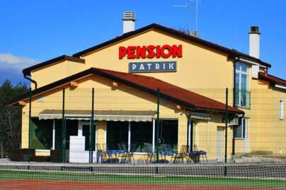
Hrušica 100, 6244 Podgrad
www.pensionpatrik.com | 00386 41 651 212 |
FRIENDS

GOLDEN PARTNERS
|
|

|
|
OTHER FRIENDS
|
|
|

|

|
|

LOCATION AND PARKING